DroneUA is a participant of the regional forum on the implementation of land reform, organized at the initiative of Mykolaiv Regional Council and Ochakiv Territorial Community.
The key issues of the event are:
Changes for territorial communities after the adoption of the Law of Ukraine 1423.
Use of unmanned aerial vehicles (UAVs) to update cartographic materials, etc.
Electronic land auctions as a tool for increasing revenues to local budgets.
Within the framework of the forum, the head of the droneUA geodetic department, Tetyana Kondratenko, will deliver a report on the topic "The use of unmanned aerial vehicles as an effective method of updating cartographic materials." She will tell you why drones are the most reliable solution for OTG during inventory.
DroneUA will introduce representatives of united territorial communities to state-of-the-art equipment that will not only speed up data collection, but also make it as effective as possible.
During the forum will be presented:
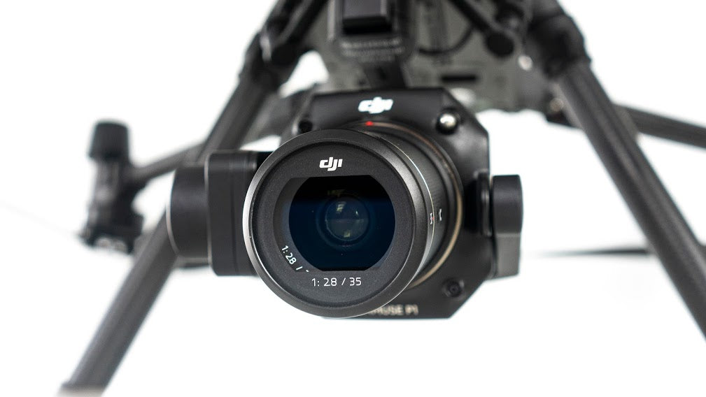
Matrice 300 RTK in complex with P1 is the most innovative solution that provides several modes of geospatial data collection, covering about 7.5 km2 in one flight;
Matrice 300 RTK in combination with L1 is the most affordable equipment for obtaining data using lidar, which allows you to capture the smallest details with high accuracy;
Phantom 4 RTK is the most popular drone that can work both with a network of base stations and with its own D-RTK2 station, receiving the coordinates of the center of photography with an accuracy of 1cm+1mm;
Sense Fly equipment is unmanned aircraft in the most simple and convenient operation, designed for fast and accurate mapping of objects.
We invite all those who wish to personally get acquainted with reference unmanned solutions!
Matrix 300 RTK Zenmuse P1 Zenmuse L1 Phantom 4 RTK SenseFly


