About us
- Main
-
Services
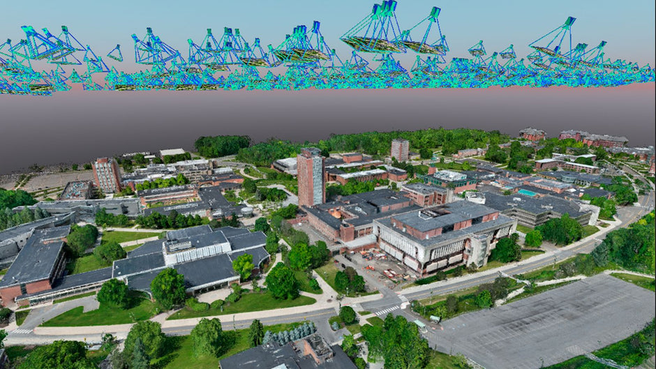
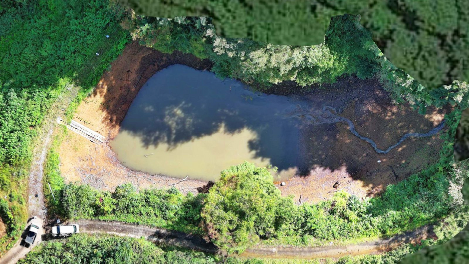
- Services for geodesy / topography
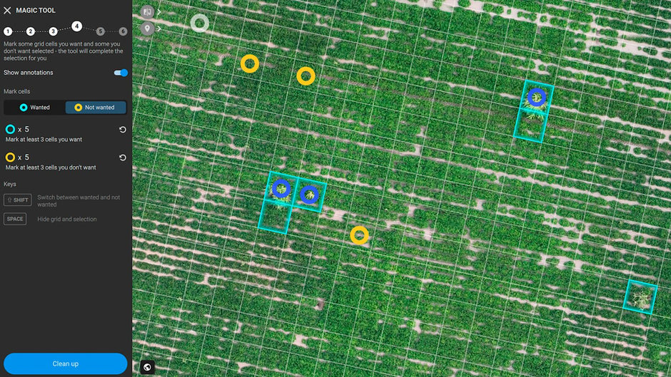
- Drone services for agriculture
- Agricultural research and analytics
- Services for the real estate market
- Services for the mining industry
- Infrastructure services
- Services for the energy market
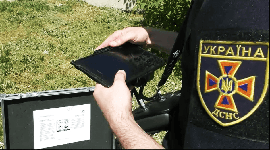
- Security services
- Flight and data processing courses
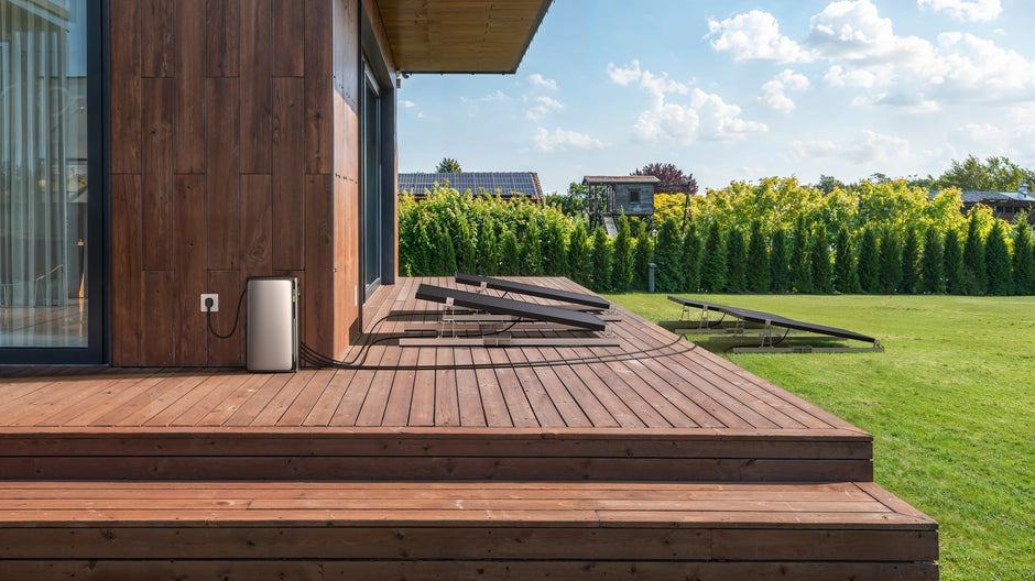
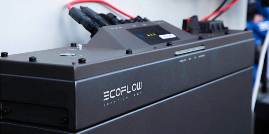
- Installation Works of EcoFlow Equipment
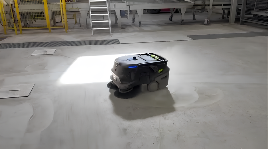
- Prototyping and small-scale production
- Industries
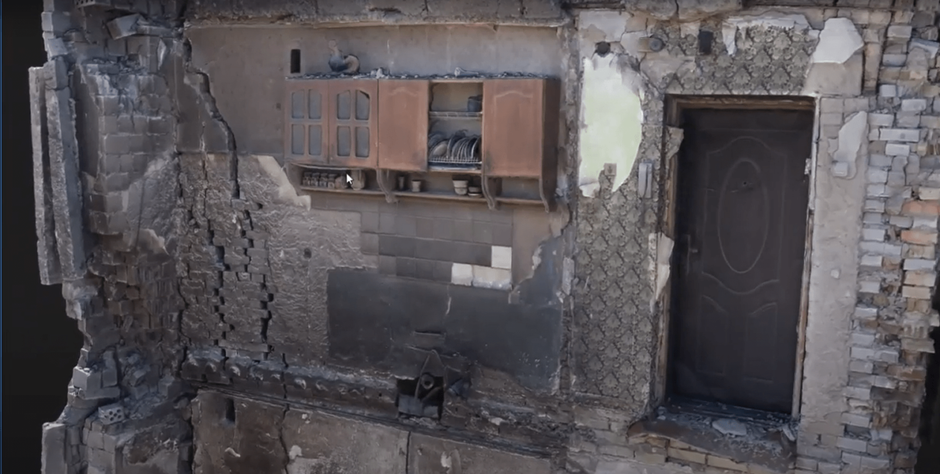
- Projects
- Enterprise solutions store
- XAG
- EcoFlow
- About us
- Contacts
- DroneUA Charity Fund
Hotline