Major update to Pix4Dfields 2.12: access to satellite data with accuracy of up to 30 cm per pixel
Modern drone technologies and AI-based software solutions are actively transforming approaches to agriculture, particularly by optimising agricultu...

DroneUA has its own division for processing satellite data and data obtained with the help of drones.


Modern drone technologies and AI-based software solutions are actively transforming approaches to agriculture, particularly by optimising agricultu...

In modern reality capture projects, the cloud functions as a working environment: it brings together access to processing results, measurement and ...

The efficiency of modern agricultural operations is increasingly defined by how quickly captured imagery can be interpreted and converted into acti...

Pix4D, a Swiss partner of DroneUA specialising in photogrammetry software, has updated its Matic and Survey software products. The latest versions,...

XAG sprayer drones have become the most widely used system for applying crop prote...

Innovation becomes even more accessible. From October 30 to November 30, 2025, a special offer is available on XAG V40 agricultural spraying drone ...
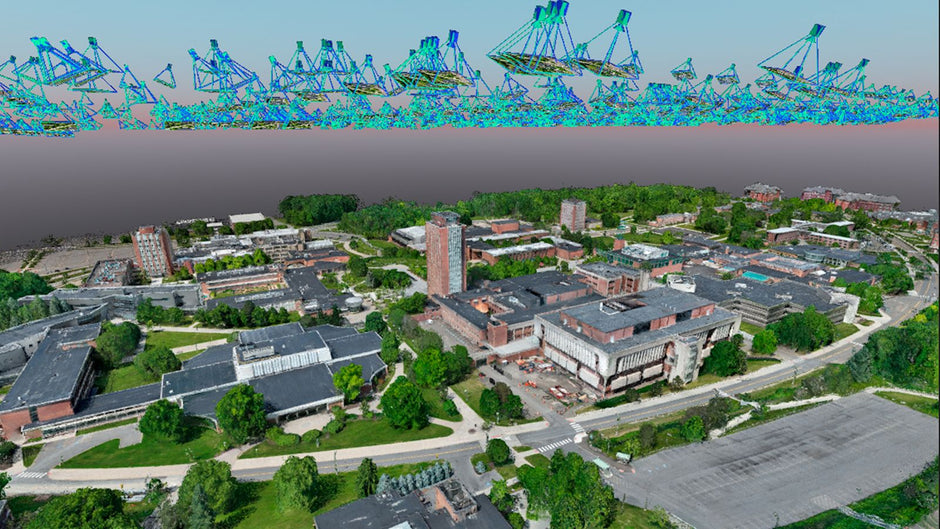
As cities continue to grow and their infrastructure becomes more complex, the issue of urban heat islands is becoming critical. An Urban Heat ...
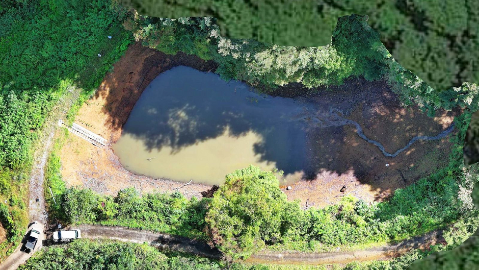
Over time, sediment accumulation at the bottom of reservoirs reduces their effective capacity, degrades water quality, and limits the reservoir’s u...
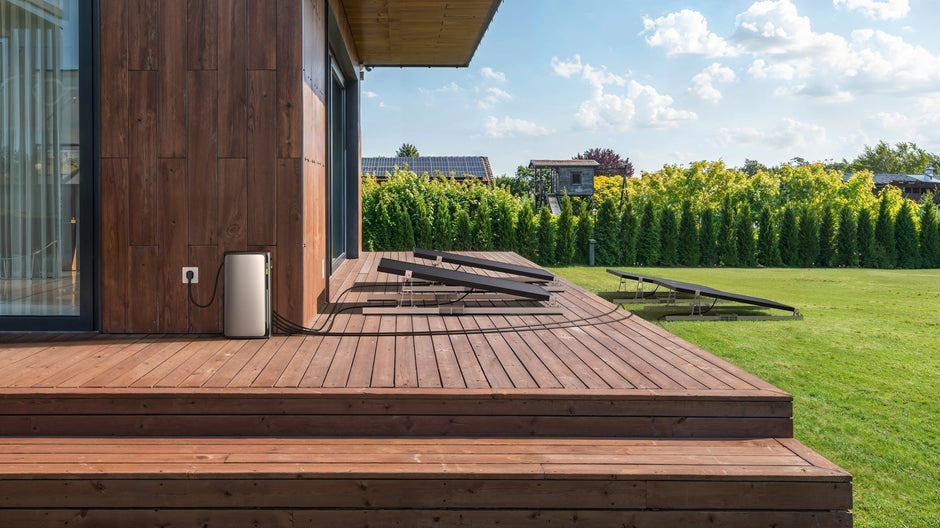
For the first time in Ukraine, a global innovation has been tested – the EcoFlow STREAM Ultra power supply system, which combines AI-opti...
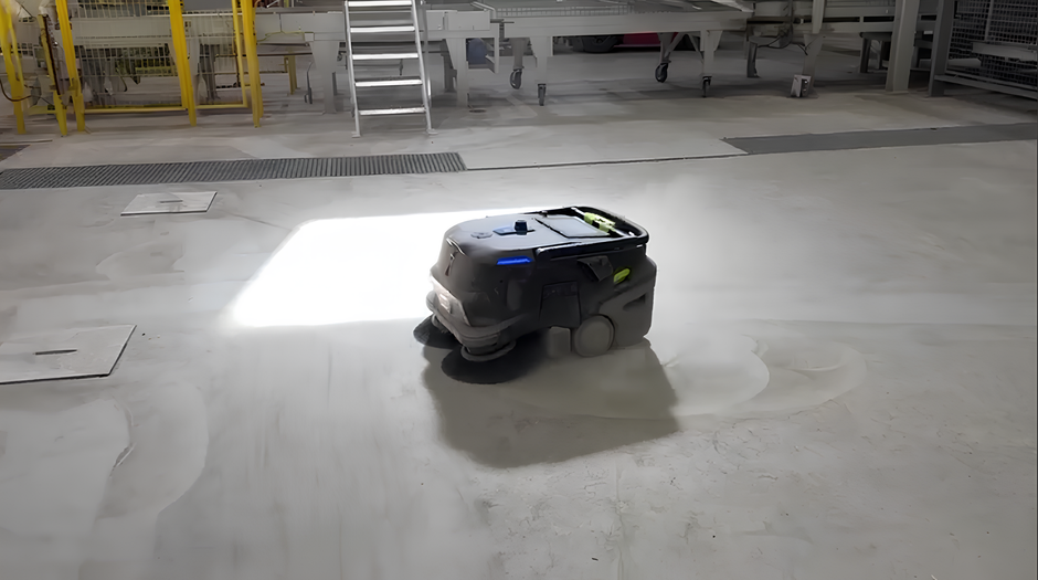
Autonomous systems are increasingly being integrated into manufacturing operations, demonstrating significant improvements in efficiency, safety, a...
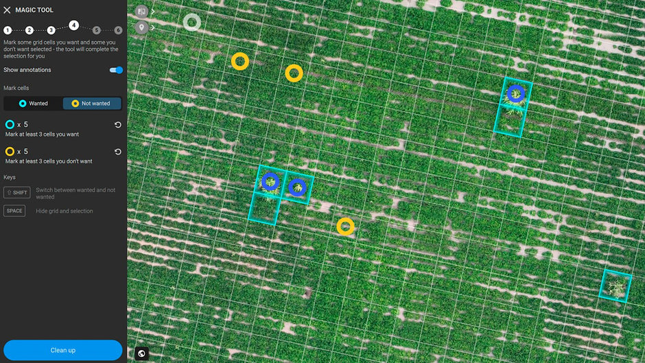
Weed management during peanut cultivation is one of the common challenges for farmers. Particularly harmful to crops is Johnson Grass (or...
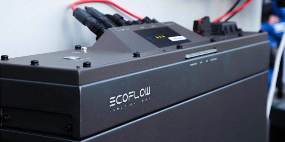
The innovative three-phase EcoFlow PowerOcean energy independence system enhances the energy self-sufficiency of homes, businesses, and social...