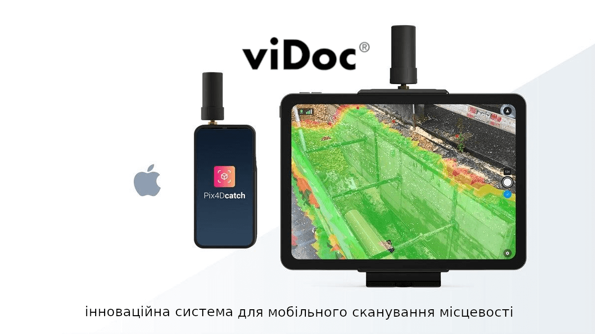
ViDoc is a mobile measuring device that turns an iPhone or iPad into a powerful photogrammetry device.
How does it work?
1. The ViDoc module is a dual-frequency GNSS receiver that connects to a base station or a network of RTK base stations;
2. The device receives corrections to coordinates from base stations in real time;
3. These coordinates are correlated with the images and lidar point cloud from the phone or tablet with high accuracy in the PIX4Dcatch professional app.

An additional bonus is that the device is equipped with rangefinders that measure the distance to the ground and the object. The set of technologies used brings positioning during shooting to a new level.


Terrain shooting takes place in the full-time free Pix4Dcatch application. The device independently determines the position of the pictures and the speed of photography according to the parameters we set. The user only needs to move at a uniform speed, and the system will scan automatically. In addition, the application provides an opportunity to view the position of the images and familiarize yourself with the demo view of the object under study. The user can immediately determine whether the object was completely photographed, whether there are certain gaps, and what will have to be taken into account during processing.


The received data can be downloaded to a computer and processed in the PIX4Dmatic or Mapper software, or uploaded to the PIX4Dcloud cloud environment.
For this application, PIX4Dcloud has no limit on the number of photos.
To determine the correctness of DroneUA measurements, experts from System solution were involved in the study .
Our colleague Mykhailo Turyanitsa compared the data obtained using the ViDoc device with ground reference points obtained by the Leica GS18 I RTK rover. Research materials are available at the link .

The average deviation was up to 5 cm, excluding several points.
The great advantage of working with the ViDoc module is the speed of work: 14 hectares were processed in 3.5 minutes of field work, 7 minutes were spent on data processing, and as a result - complete information about the shooting object.
You can see the cloud of points and control points (marked in red) yourself by following the link .
Conclusions:
Pix4Dcatch bundled with viDoc is a powerful yet simple application that allows you to quickly and safely measure complex objects and their parameters.
It is important to note that when performing this technology, it will always be possible to perform additional measurements in the office without having to go out into the field again.
For details and the possibility of test use, contact our experts - they will be happy to provide the necessary information.
DroneUA is an international system integrator of unmanned solutions.
On the market of Ukraine and Eastern Europe, the DroneUA group of companies is the largest importer and distributor of leading drone manufacturers in the world and presents technological solutions from the brands XAG, EcoFlow, Pix4D, Parrot, Chasing, DroneDeploy, AgroCares and others.
The group of companies has its own engineering, production and service divisions, as well as an open data processing center. Technological solutions presented by DroneUA are used on more than 4 million hectares of cultivated areas of Ukraine. According to the results of the 2021 agricultural season alone, more than 1 million hectares were treated with drone sprayers from DroneUA.
DroneUA is among the top three most innovative businesses in the agricultural sector of Ukraine according to FORBES and among the twenty most innovative enterprises of Ukraine.
The group of companies continues to expand the list of technological brands that it presents on the Ukrainian market, and is active in agriculture, the oil and gas industry, as well as in the fields of energy, geodesy and topography.


