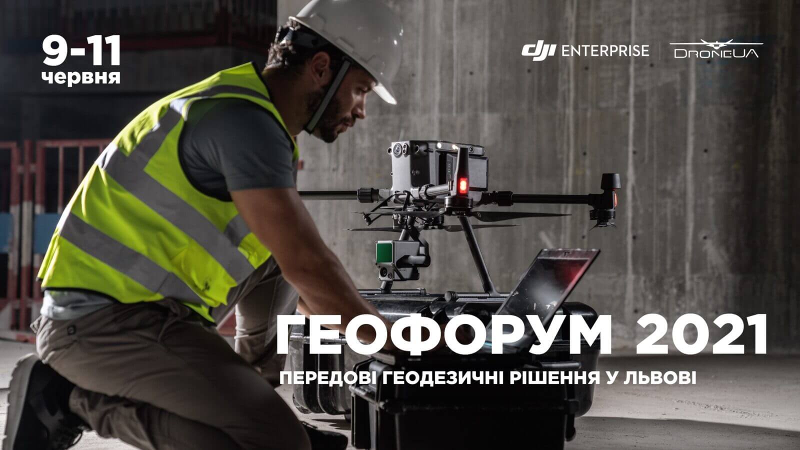
Meet Droneua on a geophorum in Lviv

DroneUA will take part in the XXV scientific and technical conference "Geoforum 2021", which will take place on June 9-11, 2021 at the Lviv Polytechnic National University.
We will present the most innovative solutions for the geodesy market, which will help you to solve the main tasks for surveyors and workers in related areas in the shortest possible time.
DroneUA specialists will conduct a practical demonstration of the operation of innovative equipment and answer all your questions about the possibilities, features of use and advantages of using drones.
During the conference will be presented:
Matrice 300 RTK in complex with P1 is the most innovative solution for the field of geodesy, which provides several modes of geospatial data collection at different angles and ensures the quality control of the received data immediately after the flight, while covering about 7.5 km2.
Phantom 4 RTK is the most popular drone among surveyors, which can work both with a network of base stations and with its own D-RTK2 station, receiving the coordinates of the center of photography with an accuracy of 1cm+1mm.
Sense Fly equipment is unmanned aircraft in the most simple and convenient operation, designed for fast and accurate mapping of objects.
Also within the framework of the forum, our head of the geodetic department, Tetyana Kondratenko, will give a report on the topic "Experience of using UAVs in topographic and surveying works", in which she will share practical cases of using drones at Ukrainian enterprises.
The organizer of the conference is the Western Geodetic Society of the Ukrainian Society of Geodesy and Cartography. The event is held with the support of the Ministry of Education and Science of Ukraine, the Ministry of Defense of Ukraine and the National Academy of Sciences of Ukraine.
More about the conference
Expert consultation


